The drone-infested 'kill zone' along the 1,200 km-long front in Ukraine is something many people hear about but few experience. In a strip of land some 30 km wide, anyone who moves may be spotted from the air by remote-controlled drones, hunted and killed. Armored vehicles like tanks are sitting ducks and have all but vanished.
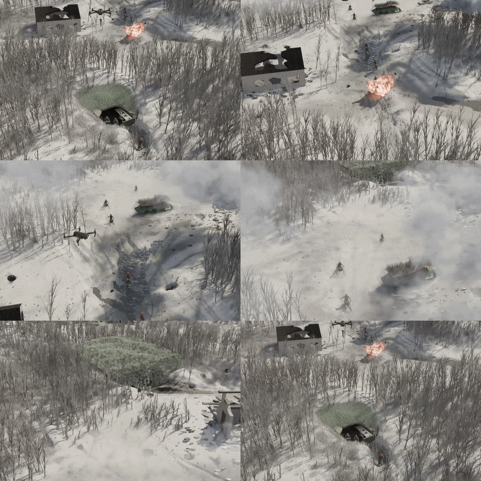
Led by Senior Graphics Editor Mariano Zafra, we spent seven months reporting on the different elements within this widening no-man's land and recreated them using advanced 3-D graphics.
The most comprehensive and striking visualization of the kill zone to date shows readers why the war between Russia and Ukraine has ground to a virtual halt and records a new form of warfare.
For the project, which took more than six months, the Ukraine team spoke to dozens of sources with firsthand knowledge of the kill zone and drew on their own experiences, feeding the information to Mariano at regular intervals.
Starting with pencil sketches before moving to the sophisticated graphics that you see today, he would fill in gaps, update and improve as we went along, reflecting the latest reporting. Every aspect, from the artillery piece to drone types, and from infiltrations to frontline foxholes, was based on real-life examples.
"We made it look real to be accurate — and to put you right there," Mariano said.






0 comentários:
Postar um comentário